


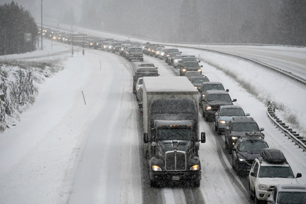
Weather forecasters on Sunday issued warnings about potential blizzard conditions along the Palmer Divide and the Eastern Plains while commuters should expect a messy Monday morning drive in metro Denver.
A winter storm will move into the Front Range on Sunday night, and while it should not deliver a lot of snow it will arrive just in time to make for a treacherous morning drive, said Zach Hiris, a meteorologist with the National Weather Service in Boulder.
“It’s going to be a quick hitting storm but it’s unfortunately going to be inconveniently tied to the morning commute,” Hiris said.
The forecast calls for an estimated 1 to 4 inches of snow in metro Denver and 3 to 7 inches in the foothills and along the Palmer Divide, Hiris said.
Snow will being after midnight Monday and will fall mostly in the early morning. The storm should move on by noon.
“That’s why we are kind of concerned about the potential for travel impact on Monday morning,” he said.
Blizzard conditions are possible along the Palmer Divide in Elbert and Lincoln counties, including the Interstate 70 corridor around Limon, Hiris said. If wind speeds reach 40 to 50 miles per hour as the snow arrives, that combination will diminish visibility.
A blizzard is not expected in the metro area because the wind will be more calm and less snow is expected.
Once the storm passes, the rest of the week will see cold temperatures with highs in the 30s and low 40s, Hiris said. There’s a slight chance of snow on Wednesday, but no big storms are on the horizon.